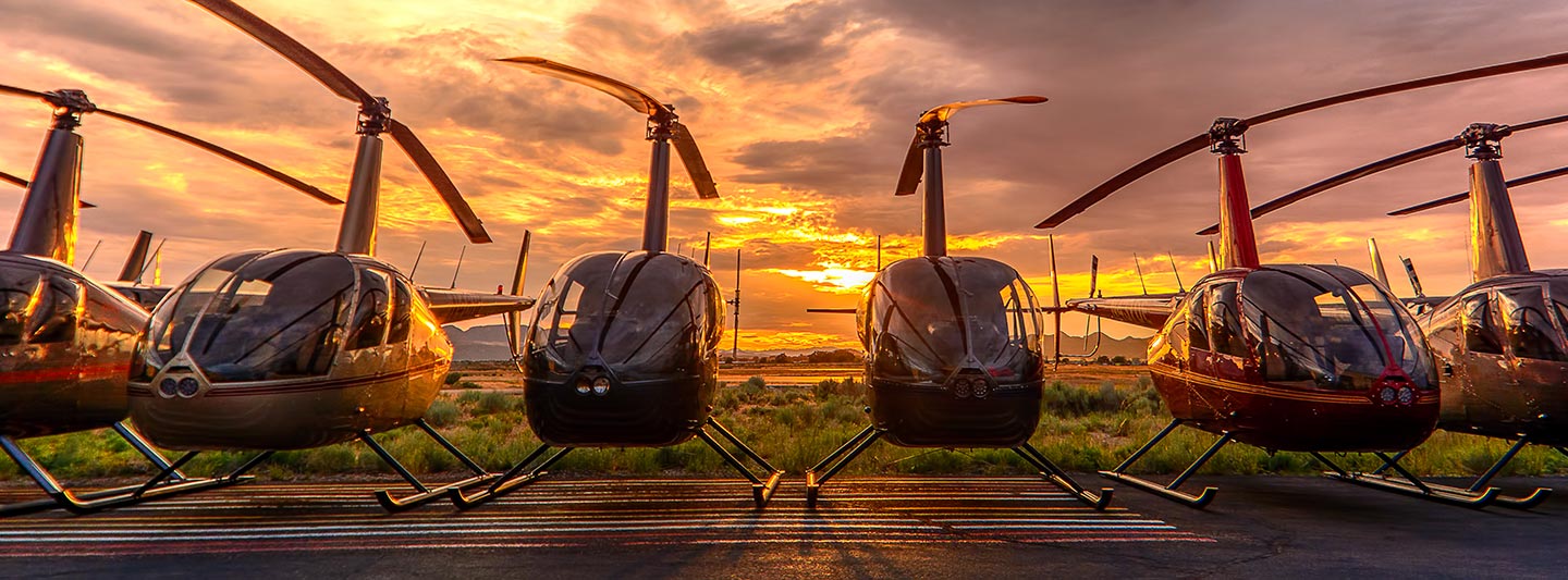
Precision Aerial Data Acquisition in Tucson, Arizona
Strategic Aerial Intelligence for Arizona
For comprehensive aerial data acquisition across Arizona, Tucson Helicopter Charters offers an extensive suite of rotorcraft options, leveraging their unique low-altitude flight and hover capabilities. We facilitate advanced aerial surveys, including precision magnetometer and electromagnetic surveys, LiDAR mapping, and sophisticated GIS data collection. Furthermore, our specialized aerial filming services provide access to cutting-edge cinematography and photography technology. This includes configuration for door-off operations for handheld precision work, ensuring unparalleled visual capture capabilities across the diverse terrain of Arizona, from the Sonoran Desert to the surrounding mountain ranges.
Aerial
Surveys
LiDAR, GIS Maps, FLIR, HD Video & More
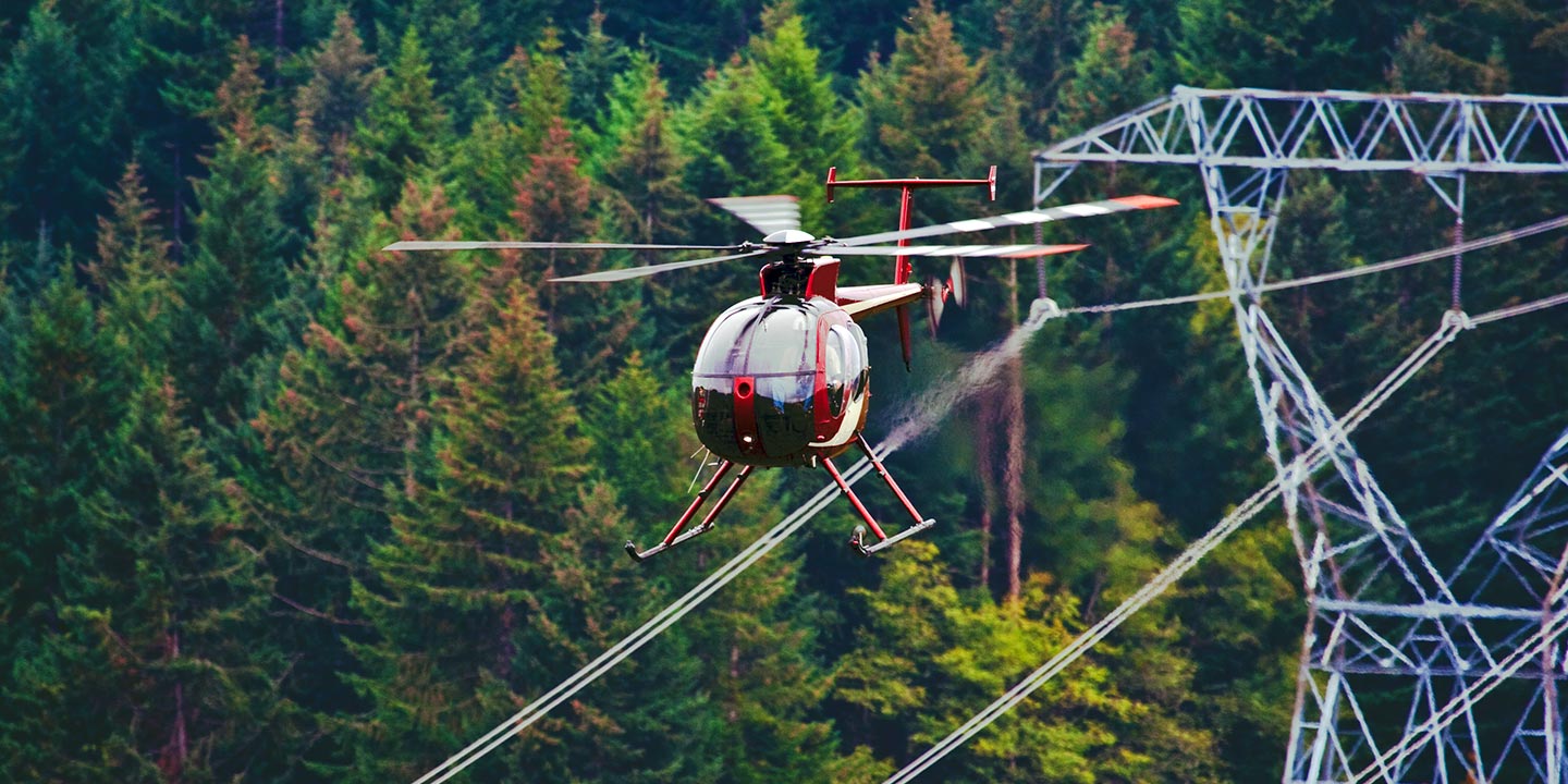
Tucson Helicopter Charters provides the necessary rotorcraft, specialized equipment, and operational expertise for critical infrastructure integrity assessments. Our capabilities extend to comprehensive pipeline surveys, precise right-of-way inspections, and detailed transmission line patrols, ensuring meticulous project execution throughout the Tucson area and beyond.
High Tech Results
The Top Pilots in Arizona, Today's Technology... Maximum Results.
Call 520-257-3777 Now!
Tucson Helicopter Charters provides the tools needed to complete your land surveys, utilizing the right equipment to provide the aerial photos that are often needed.
Effective aerial surveys are instrumental in simplifying detailed right-of-way and site inspections, precise topographical data acquisition, and high-definition imagery capture for commercial development projects. Helicopter-based surveys offer an unmatched vantage point over the Arizona terrain, facilitating critical assessments such as pipeline leak detection, transmission line anomaly identification, and comprehensive property documentation. Tucson Helicopter Charters excels in developing bespoke photographic and advanced remote sensing operations, engineered for maximum technical precision and cost-efficiency to yield optimal project outcomes.
The inherent operational characteristics of a helicopter, specifically its capacity for low-altitude and slow-speed flight, render it the optimal platform for precision aerial surveying. While fixed-wing aircraft are mandated by FAA regulations to maintain a minimum of 1,000 feet above the highest obstacle, rotorcraft possess the flexibility to operate at significantly lower altitudes. This distinct capability allows for the close inspection of challenging or hazardous zones, providing engineers with critical perspectives and data otherwise unobtainable through conventional methods.
There is no better way to conduct your visual survey, animal population counts, soil drainage analysis, ROW inspections, pipeline and transmission line inspections, and geographical surveys.

LiDAR Imaging
Light Detection and Ranging, or LiDAR, is a remote sensing method used to examine and measure Arizona topography as well as objects, like vegetation, upon it.

Infrared Imaging
Thermographic IR cameras are used to detect radiation in the long-infrared range of the electromagnetic spectrum and produce images of that radiation, called thermograms.

HD Video Gimbal Capture
Modern HD and 4K cameras can be mounted to helicopters, using the proper STCs, with a gimbal to stabilize photos & videos for detailed results.
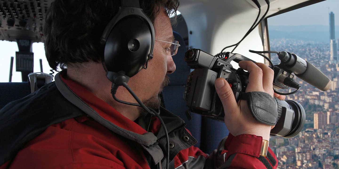
Cutting-Edge Aerial Filming and Videography Solutions
For expert camera work in the Tucson Sky
Get a Fast, free QuoteTucson Aerial Cinematography
Tucson Helicopter Charters provides comprehensive access to professional-grade aerial cinematography solutions throughout Arizona. Our network offers state-of-the-art technology to facilitate custom production requirements, featuring advanced gyro-stabilized camera platforms such as Tyler Mounts, Wesscam, Cineflex, Pictorvision, and SpaceCam. These systems seamlessly integrate with high-resolution specialty cameras including Cineflex HD, RED Epic, and Arri Alexa, alongside cutting-edge 3D and experimental camera systems. We support all aspects of production goals, from dynamic air-to-air sequences to precise ground-to-air perspectives. Collaborating closely with aerial Directors of Photography and production teams, our operations consistently deliver exceptional visual results for both still and motion photography. Tucson Helicopter Charters specializes in providing aviation support for a vast array of media-related operations in Arizona, encompassing feature films, television productions, documentaries, promotional videos, commercials, specialized aerial props, critical relief work for broadcast networks, and comprehensive coverage of significant historical or sporting events utilizing a diverse fleet of rotorcraft.
Call Us Today at 520-257-3777 for a Free Quote
Contact Us
Aerial Photos
Hand-held or Mounted OpTions in Tucson
We will help you get the right equipment for your aerial photography project! Call 520-257-3777 today to get a fast, free quote.
The Most Options for Photography
Capturing the unparalleled vistas and distinctive geological formations of Arizona is optimally achieved from an aerial perspective. Tucson Helicopter Charters specializes in designing bespoke aerial photography missions engineered to meet and exceed client expectations, enabling the precise visualization of specific creative or technical requirements. We facilitate high-value photographic opportunities across Arizona, emphasizing technical capability and operational flexibility. Many rotorcraft can be configured for door-off operations, ideal for unencumbered handheld photographic projects. For enhanced image stability and professional-grade results, please inquire about our advanced gyro-stabilized camera mount solutions.
Superior Service
Every one of our customers gets a dedicated helicopter expert to assist with flight plans, tech loadouts, production logistics, project schedules, and other demands.
Over 500 Aircraft
Our network of direct air partners extends well beyond Tucson, Arizona. This allows us to offer a wide range of solutions for even the most sophisticated projects.
The Best Equipment
From high-tech sensors like LiDAR, FLIR, and GIS to HD cameras and movie production gimbals, we're here to make your job as easy as possible.